Basemap and site walkWith Rooftop Site Selection
Screen the search ring before anyone walks it.
Rooftop Site Selection ranks the rooftops and towers inside your search ring by height, roof access and line-of-sight clearance, from very-high-resolution imagery and photogrammetry. You take the top of the list to the site walk and drop the rest at your desk.
Ranked candidate listCSV
| IDCandidate ID | RG-014 |
|---|---|
| RKRank | 1, 2, 3 … |
| HTHeight estimate | screening figure |
| CLClearance flag | flag |
| ACAccess flag | flag |
| RARooftop-area estimate | sq ft |
| OCOcclusion note | flag |
- GSD
- ≤0.5 m (VHR)
- Cadence
- Annual
- Platform
- VHR satellite / aerial
- Spectral
- RGB
- Run
- On demand, per search ring
Where a basemap runs out
The ring comes in from RF and you open it on a satellite basemap. You scroll the buildings, pick the ones that look tall enough, and book a site walk.
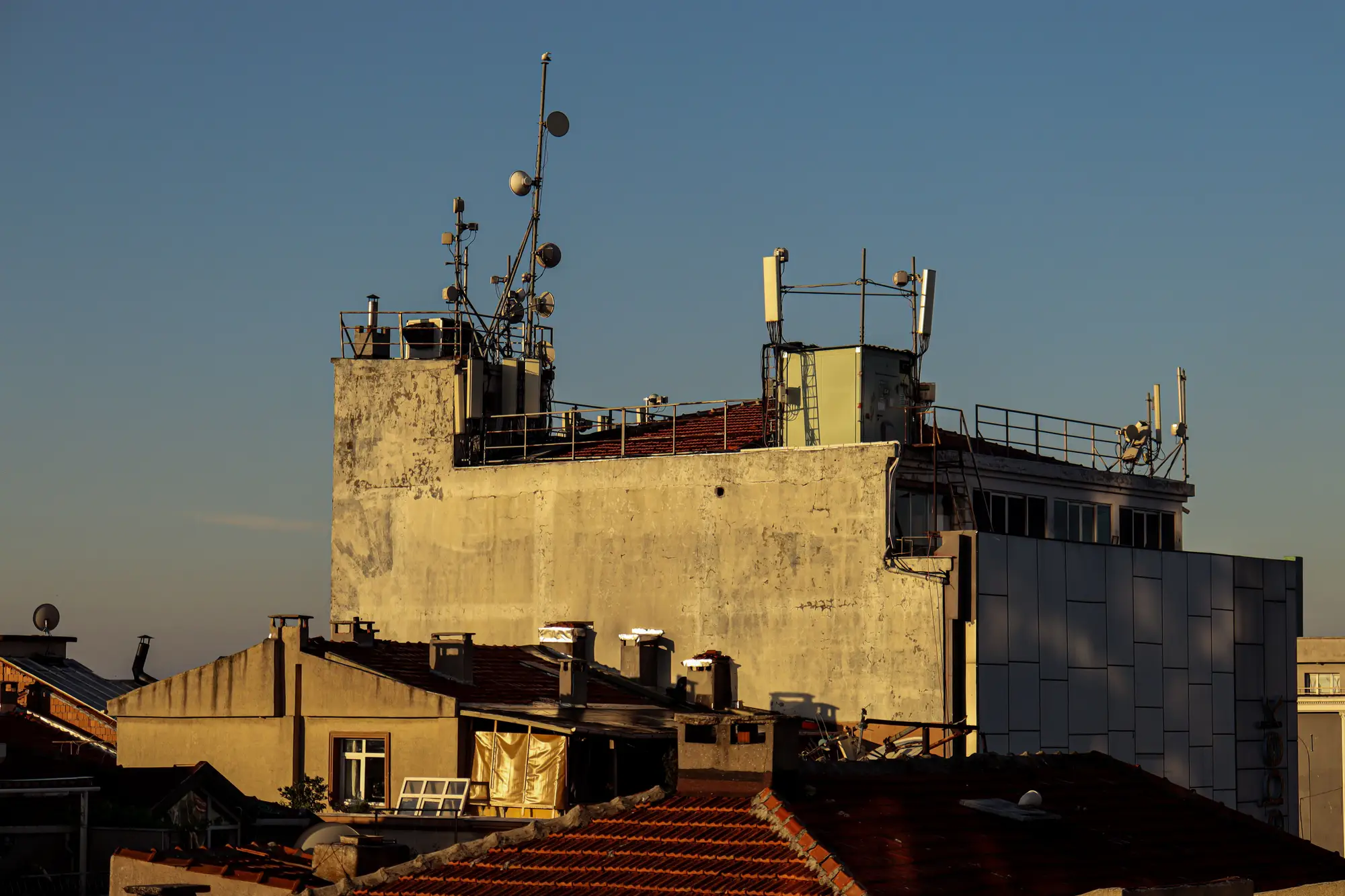
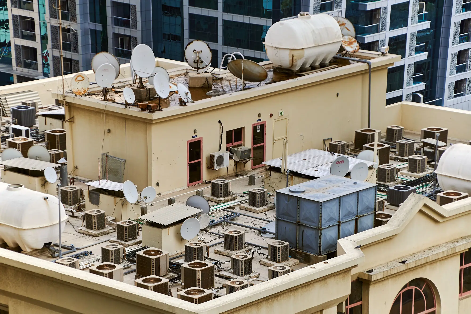
On the ground the story changes. The roof is half taken by plant, the stair bulkhead sits where the mount should go, or a taller building across the street shuts the sightline. A basemap shows you a footprint, never a height, and nobody can read clearance off a flat image. The crew spent its day and the ring still has no candidate.
The desk screen, step by step
| Step | Basemap and site walk | With Rooftop Site Selection |
|---|---|---|
| 01Finding the candidates | You pan the ring on a satellite basemap and pick buildings and towers by eye. Anything you scroll past stays unseen. | The rooftops and towers the imagery shows inside the ring are detected and listed, each with its own ID. |
| Still yours: The ring itself, drawn by RF, and which structures you'd ever approach. | ||
| 02Judging height | You guess from shadows and street-level photos, or you wait until someone is standing next to it. | Each structure carries a height estimate from photogrammetric reconstruction of the imagery, as a screening figure. |
| 03Checking clearance | You look for taller neighbours and trees on the map, one candidate at a time. | Each candidate carries a clearance flag from the surrounding heights in the model. |
| Still yours: The RF path itself. Propagation is the RF team's work. | ||
| 04Roof access and usable area | You learn about parapets, plant and the stair bulkhead when you reach the roof. | Each candidate carries a rooftop-area estimate and an approach flag, so a roof that is mostly equipment shows up before the drive. |
| 05Deciding who gets a site walk | The order comes from instinct and from which owner picks up the phone first. | A ranked list puts the likeliest candidates first. The unusable ones are dropped on paper. |
| Still yours: Calling the owner, the walk itself and the rooftop lease. | ||
| 06Structural sign-off | A structural analysis on the shortlisted structure once a landlord agrees. | Nothing changes. We screen candidates for you to pursue, and the engineer's analysis comes after. |
What comes back for each ring
Ranked candidate list
One row per structure: ID, rank, height estimate, clearance flag, access flag, rooftop-area estimate. Paste it into your site acquisition tracker. This is the table the ledger rows above are drawn from.
Candidate map layer
The candidates as footprints with the same IDs and fields, for ArcGIS or QGIS, plus a KMZ if field staff work in Google Earth.
Candidate sheet for the top structures
A one-page sheet per top candidate: the imagery chip, a photogrammetric elevation view, and the height, clearance and access flags. It goes in the file the crew takes to the site walk.
Occlusion notes
Structures hidden by trees or covered by rooftop plant, where the height or area may be under- or mis-measured, are flagged for a manual look rather than ranked as if they were clean.
How it works
Ring in
You send the search ring, a coverage gap or a pilot area as a polygon, or a point and radius. We confirm the direction of the sightline you care about.
Imagery
We use the most recent VHR satellite or aerial coverage over the ring at 0.5 m or finer, with enough overlap for a 3D reconstruction.
Analysis
Structures are detected, heights are modelled, and clearance and access are flagged against the surrounding heights.
Delivery
The ranked list, map layer and candidate sheets arrive together. We go through the top of the list with you on a call.
Limits
Where the site walk is still better
The walk sees what imagery can't: the roof surface, who the owner is, the actual condition of what's up there. Treat the list as the order of the walks, never a replacement for them.
- A screening height
- Height comes from a reconstruction of the imagery and carries its own margin of error. It is a screening estimate, not an engineering measurement, and the page quotes no error figure.
- Resolution
- Rooftop plant is detected as obstruction, not identified. Small equipment on the roof will not be listed.
- Rooftop plant and trees
- Equipment, tanks and canopy can hide parts of a structure from above. Those candidates are flagged and need a manual look.
- Once a year
- Imagery is annual. A building finished or extended since the last pass may not show yet, or may show at its old height.
- No signal modelling
- We screen physical structure. We don't predict propagation, coverage or whether a lease will be approved, and we never certify structural loading.
Who it's for
Switch if
- You work search rings for a tower company or operator and screen them on a basemap today.
- Dry site walks cost you more than you'd like and you want the unusable ones gone before the drive.
- You'd read a ranked sheet with heights and flags and make your own call.
Stick with the basemap and the walk if
- You only handle a few rings and a walk costs you little.
- You need a structural opinion, an RF path result or a lease view. This does none of those.
- The area you need was built or changed since the last annual pass.
Questions before a pilot
Does this replace a structural survey?
No. It screens candidates before one. Final loading and the lease terms still need a site visit and an engineer.
How is height measured?
From photogrammetric 3D reconstruction of the imagery. It has its own margin of error, so treat it as a screening figure.
What if the roof is covered by plant or trees?
Occluded structures can be under- or mis-measured. They're flagged for a manual look, not ranked as if they were clean.
How do we check it against our own ground truth?
Pick a ring you have already walked and don't send us your results. When the sheet lands, compare it with what your crew found and decide whether the ranking is good enough to plan with.
Does it check RF propagation?
No. It screens physical structure only.
How current is the imagery?
Cadence is annual, so recent construction may not appear yet.
Will it load into our tracker or GIS?
It comes as a CSV and a GIS layer keyed to the same candidate IDs. We don't write into your system directly.
Who owns the results and the imagery?
Ownership and licence terms sit in the pilot agreement, written before anything is ordered. Ask early if procurement needs to review them.
How is a pilot bought and priced?
Pricing is quoted for your pilot area. Tell us how you buy and we'll scope the pilot to match.
Run your next search ring through it.
Tell us which ring you'd start with and when the site walks are due. We'll say plainly whether the imagery can support it.