How to rank search ring candidates before scheduling a site walk
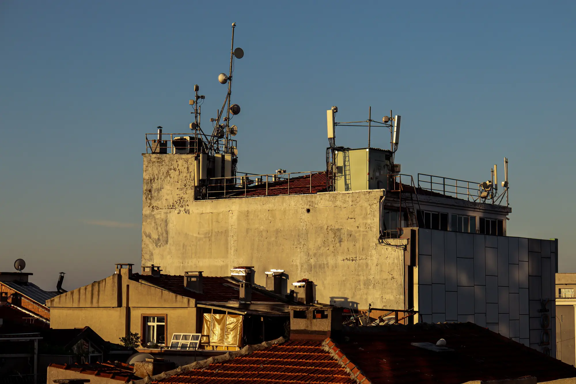
A search ring comes back from the RF team with nine, twelve, sometimes twenty candidate structures inside it. Your job is to get a usable host on contract, and you've got a field crew with maybe two or three site-walk days this week. So which four do you send them to first?
Most site acquisition specialists answer that question the same way: open the satellite basemap, eyeball which rooftops look tall enough and close enough to the search ring centroid, and start scheduling. It works, until the crew drives ninety minutes to a rooftop that turns out to have a parapet six feet shorter than it looked from above, or a roof hatch that's been welded shut since a 2019 re-roof, or a sightline blocked by a taller building nobody noticed on the zoomed-out view. That's a lost day, and on a tight build schedule those days add up fast.
What actually knocks a candidate out before anyone walks it
Three things kill a rooftop candidate before you ever get a crew on site, and all three are visible in imagery if you're looking at the right resolution.
Usable height. A rooftop's roofline height on a basemap isn't the same as the height you can actually mount antennas at. Mechanical penthouses, elevator overruns, and parapet walls all eat into what looks like clearance from a flat top-down view. You need enough resolution to measure the structure in three dimensions, not just trace its footprint.
Roof access. Some rooftops that look perfect from above have no practical way to get a crew and equipment up there, or the access path runs through space a tenant won't give up. This one's harder to fully confirm from imagery alone, but obvious disqualifiers (no visible rooftop mechanical penthouse, no stairwell bulkhead, a roof that's clearly a parking structure deck) show up before anyone drives out.
Line-of-sight clearance. This is the one basemap-eyeballing gets wrong hardest: a 2D satellite image flattens everything to the same plane. A rooftop two blocks from the search ring centroid might have a clean line toward the gap you're trying to fill. Or it might be sitting in the shadow of a taller building in that exact direction. A flat image won't tell you which. You need the surrounding structure heights modeled too.
Prioritizing the shortlist: rank by clearance, not by convenience
Once you know which candidates clear those three filters, ranking the shortlist gets simple. Put the structures with confirmed usable height and an open sightline toward your coverage gap at the top, regardless of which one happens to be closest to the highway or easiest to schedule first. A rooftop that's a twenty-minute drive further but has a clean line of sight is worth walking before a convenient one that's going to get rejected on height anyway.
This also changes how you brief the field crew. Instead of handing them a list of addresses and a basemap screenshot, you can hand them a ranked list with the height and clearance figures already attached to each candidate, so the walk becomes a confirmation visit instead of a discovery visit. The crew shows up already knowing what they're checking, which cuts the time they spend on site and the number of candidates that get a wasted trip.
The imagery side of this doesn't need to be exotic. Very high resolution satellite or aerial imagery, at or under half a meter per pixel, paired with a 3D photogrammetry model of the surrounding structures, gets you close enough to flag usable height and sightline clearance before a human looks at a single rooftop in person. Rooftop Site Selection runs that screening pass against a search ring and hands back a ranked candidate list with height and clearance figures attached to each structure, so the ranking above happens before you've burned a field day on it rather than after.
Run your next search ring through a screening pass before you build the site-walk schedule.